Great news for our users! We've made a series of improvements and updates to our system to provide you with an even better experience. Here are the latest changes:
-
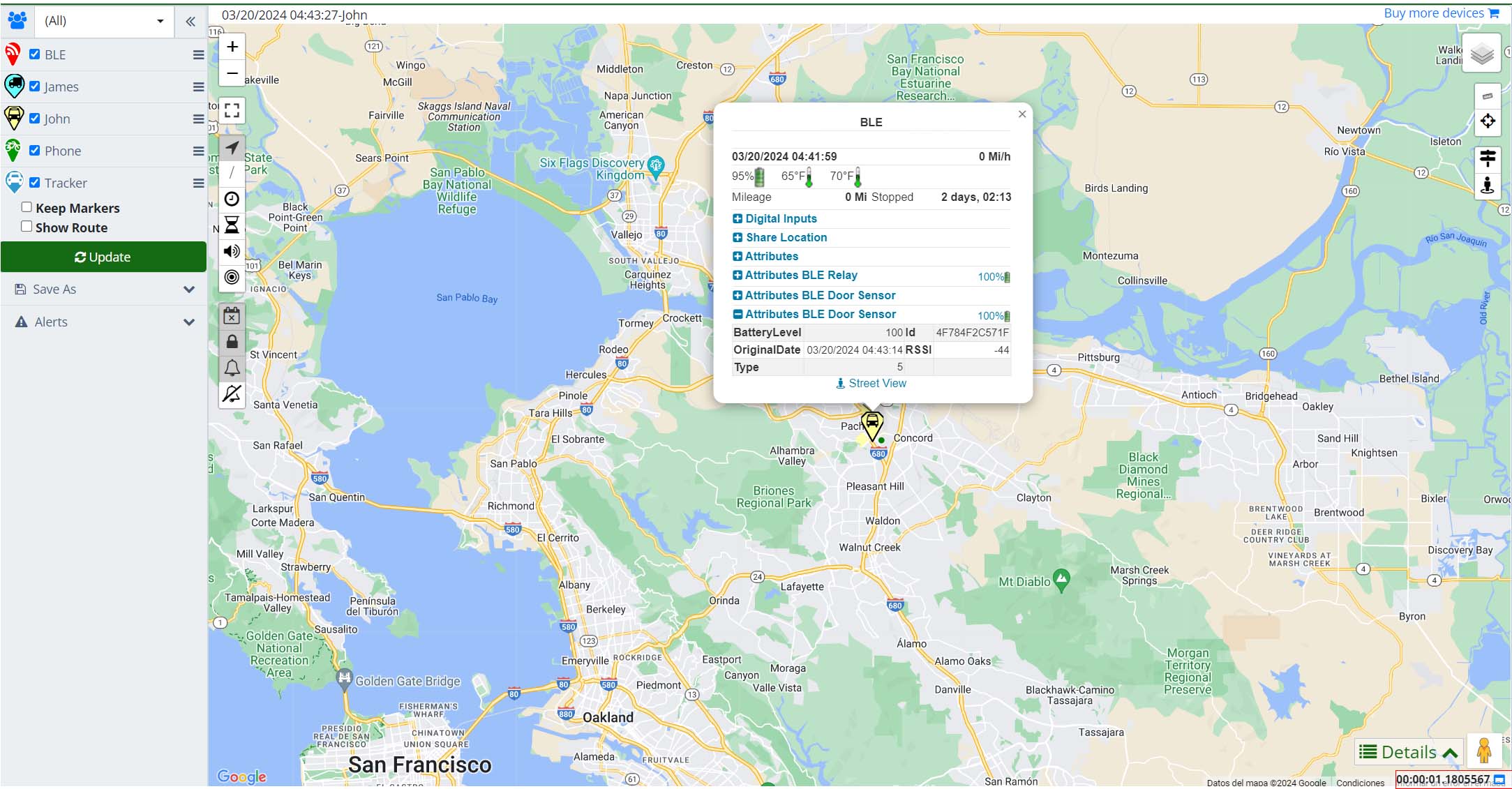
Data Visualization of BLE Accessories on the Map: On the map, it is now possible to consult the parameters generated by the BLE accessories of your trackers. This means that you will be able to see detailed and updated information about your assets in a much more visual and interactive way.

-
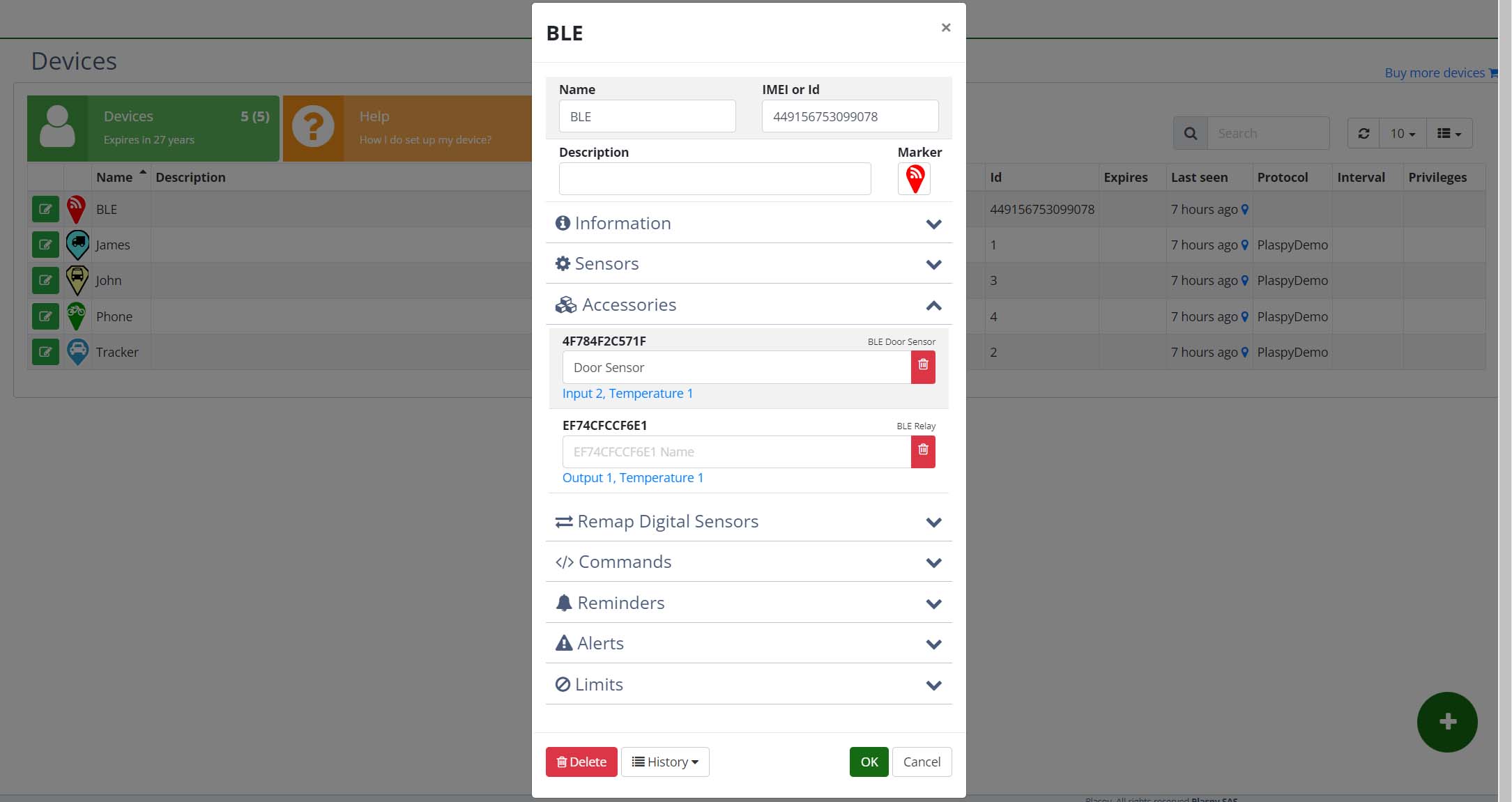
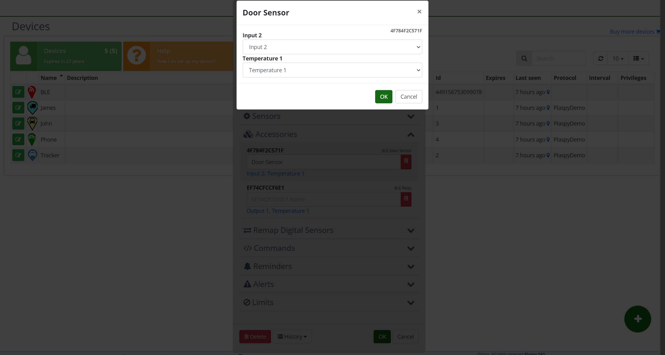
Extended Support for BLE Accessories: Now, our compatible trackers support a wide range of BLE accessories, including fuel sensors, temperature sensors, panic buttons, among others. These sensors can be easily mapped to the desired sensor and, for added convenience, you can also rename them for quicker identification.


-
Advanced Interaction with Statistics: We're introducing a novelty in the statistics section: now you can directly ask your current data questions using OpenAI technology. This allows you not only to automatically generate statistics but also to get specific answers from your real-time data.
-
Persistence of Temperature and Fuel Data: We've improved how temperature and fuel data are handled. Now, these values will remain persistent between locations, meaning you will have a continuous record without losing information between updates.
-
Time Zone Adjustments in Location Attributes: The dates of the location attributes will now be displayed in the user's time zone, rather than in UTC, making it easier to interpret the data without the need for time conversions.
-
Update of the TopFly T800x Protocol: We have updated the TopFly T800x protocol to support BLE devices, ensuring greater compatibility and flexibility in using accessories with our trackers.
These updates are designed to enhance your experience, providing you with more control, accuracy, and ease of use. We hope you enjoy these new features!